O
SEDBURY CLIFFS - CHEPSTOW - MONMOUTH - PANDY - HAYONWYE -KINGTON - KNIGHTON - BROMPTONBRIDGE - BUTTINGTON -LLANYMYNECH - CASTLEMILL - LLANDEGLA - BODFARI - PRESTATYN
‘One of the jewels in the crown of British trail walking’. So my guide book told me.
I knew of it, had cousins who lived close to it, knew people who had walked it and had always had it in the back of my mind to walk it. Little did I realise I was to climb in total just over 2,000 feet short of the height of Everest. And descend the same!
I had been warned by my walk partner, Mike Luxmoore, way back when we were planning it but, as it didn’t appeal, I put it from my mind!
The trail length is 177 miles which didn’t faze me as I had walked the best part of 150 miles before and survived.
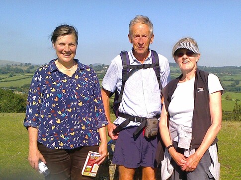
And so 10th September found me sitting on a train to Chepstow to meet up with Mike, and Sona Harrap, who walked with us for the first five days.
And thus the adventure began.
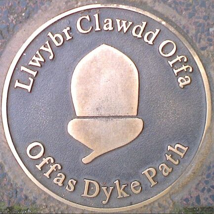
The Offa’s Dyke Association dates from 1969 and the Trail opened in 1971. So we walked in ODA’s 50th anniversary year a total of 210 miles over a 12 day period plus a rest day in the middle. We averaged 16.5 miles a day, with 6 days at 17 miles+ and walked between 8 and 9 hours a day. We followed the trail itinerary in the Cicerone guide book ‘Walking Offa’s Dyke Path’. I am now very happy to wear the Offa’s Dyke badge, a copy of a coin with the head of Offa* and the words ‘Offa Rex’.
In 757 AD Offa became King of Mercia, giving him control over the majority of what we now call England. He had some pesky Britons on his western boundary, pushed out by the Anglo-Saxons and making a nuisance of themselves. So he built a dyke and ditch over 20m wide by 8m high and 70 miles long to show them who was boss!
In 757 AD Offa became King of Mercia, giving him control over the majority of what we now call England. He had some pesky Britons on his western boundary, pushed out by the Anglo-Saxons and making a nuisance of themselves. So he built a dyke and ditch over 20m wide by 8m high and 70 miles long to show them who was boss!
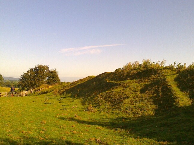
A shadow of its former self!
The first written record** of this most impressive monument, 1200 years old and still imposing in parts after centuries of agricultural activity, is from Bishop Asser’s Life of King Alfred of Wessex, written in AD 893, almost 100 years after King Offa’s death.
There is still debate about why and how it was built and even if Offa built it. But let’s be happy that it is one of the great engineering achievements of the pre-industrial age – from the Dark Ages no less, when hand tools were the modus operandi.
*Offa introduced the penny as standard monetary unit
**‘There was in Mercia in fairly recent times a certain vigorous king called Offa who terrified all the neighbouring kings and provinces around him, and who had a great dyke built between Wales and Mercia from sea to sea’.
This ancient monument was to accompany us for a large part of our walk – from the beginning at Sedbury Cliffs and the lower Wye valley and later from Kington to east of Llangollen.
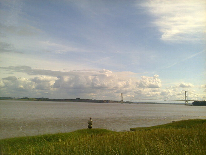
At Sedbury Cliffs with the River Severn and the Severn Bridge. We walked these few miles from Chepstow the day before.
We walked beside it, we walked on it, it sheltered us from the wind, it loomed at us from the mists on Llanfair Hill at its highest point(432 m), we hugged the massive trees that grew on it, we sat on top of it, ate our marmalade sarnies and looked from it west to Wales and to Snowdonia.
As we walked, and the guide book informed us, we travelled through a timeline of British history, from prehistoric man with his Neolithic imprint, his Bronze and IronAge presence through Roman influence and the Dark Ages to the Normans, Medieval and Tudor England and post-Reformation to the Victorians and the Industrial Age.
There was very little of the 20th century. The Severn Bridge, a few main roads, Criggian Quarry in the Breidden Hills providing roadstone and modern housing at the south and north end of the trail. It wasn’t until the last day nearing Prestatyn that pylons marched across our view and traffic roared on the A55. The first wind turbines we saw in any great number were in Liverpool Bay*.
*North Hoyle site, the first offshore wind farm in the UK, opened in 2003
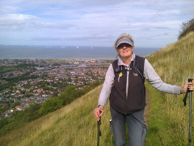
A welcome sight - Prestatyn, the sea and the North Hoyle wind turbines
The Trail is a celebration of the wonderful countryside we live in, with all its beauty and nuance, from park and farm lands, woods and orchards, drovers' roads and Roman roads, hills and river valleys to canals, high ridges, moorland, limestone cliffs, dark forests and views to catch your breath and bewitch your eye.
The topography of the Welsh Marches is such that the fourteen rivers* we crossed run west to east bar two which run east to west. These divide the country into a series of valleys layered up as you head north with the intervening hills waiting to deliver their cruel punishment.
*Wye, Monnow, Trothy, Honddu, Arrow, Lugg, Teme, Clun, Unk, Camlad, Vyrnwy, Ceiriog, Dee, Alyn
It is an area fought over long and hard, littered with hill forts, ruined abbeys, castles and battlefields and names etched in the blood of Kings, Princes and Lords of the realm.
Day 1 Chepstow to Monmouth 21½ miles
We met the first of these castles at Chepstow – the oldest stone castle in the UK, built in 1067, with the later twin-towered gatehouse, a first for Britain, looming large over the cliffs of the River Wye. That must have been a shock to the natives!
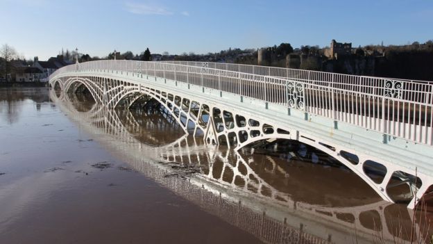
The rain greeted us that first morning. Little did we know as we set off over the famous iron bridge, leaving the castle behind us and cursing silently, that we would have the most astonishing twelve days, bar a couple of days, of near perfect walking weather, with not a cloud in the sky, only the contrails of airplanes, and a gentle breeze in our faces.
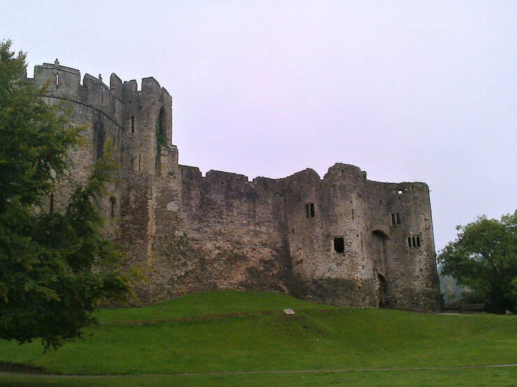
First twin-towered gatehouse in Britain, with wooden doors sheathed in iron constructed no later than 1190s, now on display inside the castle. For more than six centuries it was home to some of the wealthiest and most powerful men of the Medieval and Tudor Ages
Largest iron roadbridge remaining of its age, completed in 1816 by John Rastrick, Grade 1 listed, and able to cope with the high tides of the River Wye
We walked high above the Wye valley, in deep woodland, passing some very impressive pieces of the Dyke at Passage Grove before diverting off the Trail to visit Tintern Abbey, seen from the Devil's Pulpit and lying tantilisingly close.
from afar, a romantic ruin but close to, forlorn and drear, with all its tourist tat; the Wye Valley
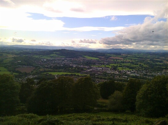
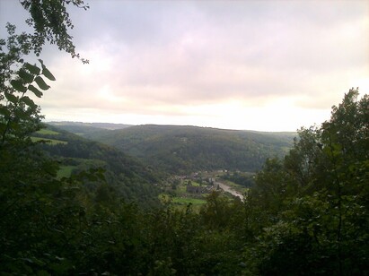
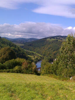
We followed the Wye valley and sat on the river bank for our lunch, rejoing the trail for our first killer climb up to the Kymin (260), just south of Monmouth. It was well worth the climb for its stunning view west over the Welsh hills.
Looking down on Monmouth and out to the west from the Kymin
Day 2 Monmouth to Pandy 18 miles
My Dad's uncle lived in Monmouth where we visited fairly often but, to be honest, I didn't remember any of it!
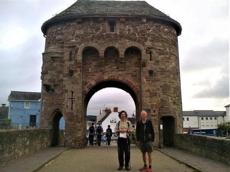
It is a border stronghold with a long history - birthplace of Henry V, ruined Norman castle where he was born in the gatehouse, 13th century fortified bridge at the bottom of a charming high street, confluence of three rivers, the Wye, the Monnow and the Trothy, and the hometown of Charles Rolls, the aviation pioneer.
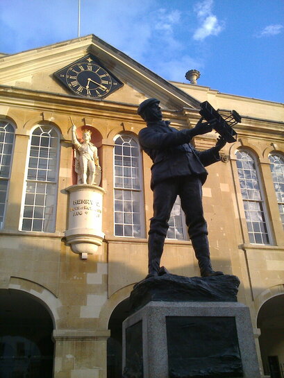
Rolls bought a plane off the Wrights and flew over theEnglish Channel and back, the first to do so. He was partener to Royce and was killed in a flying accident aged 33 in 1910. Note Henry V in the background!
We met up with friends, Tommy and Sarah Vaughan, who I hadn't seen for ages so a good catch-up was had by all! Dinner at La Piccola Italia was delicious and Tommy's and Sarah's local knowledge was most useful. A huge thank you to you both.
13th c. fortified bridge over the River Monnow, the only one in the UK and one of three left in Europe!
So the day found us meandering through pretty farmland, apple and perry orchards, up and down gentle dales, following the Trothy, with a view to the Black Mountains, next day’s destination.
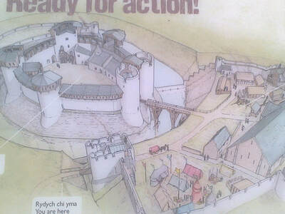
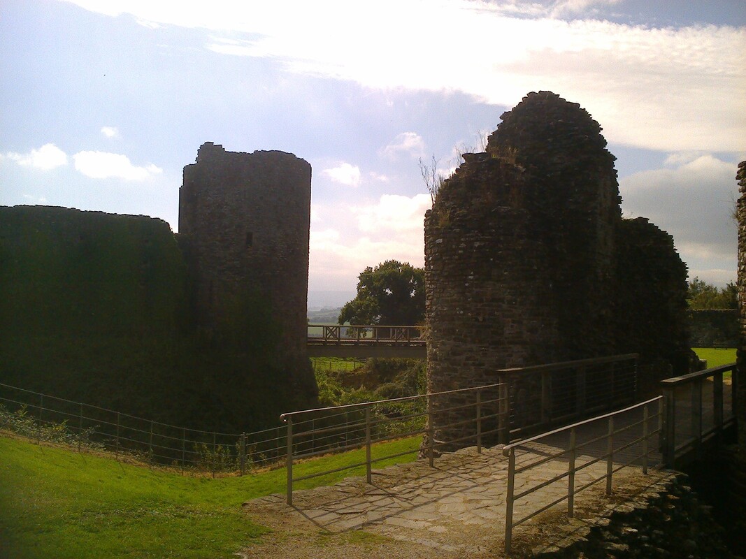
There were surprises in store, the first being the 12th century White Castle which turned out to be a massive ruin, with outer and inner wards and an impressive extremely deep moat. This was our lunch spot, sitting amongst the ruins in the sunshine. Rudolph Hess, held as a prisoner in Abergavenny Prison, was allowed to come here to walk and sketch.
There were surprises in store, the first being the 12th century White Castle which turned out to be a massive ruin, with outer and inner wards and an impressive extremely deep moat. This was our lunch spot, sitting amongst the ruins in the sunshine. Rudolph Hess, held as a prisoner in Abergavenny Prison, was allowed to come here to walk and sketch.
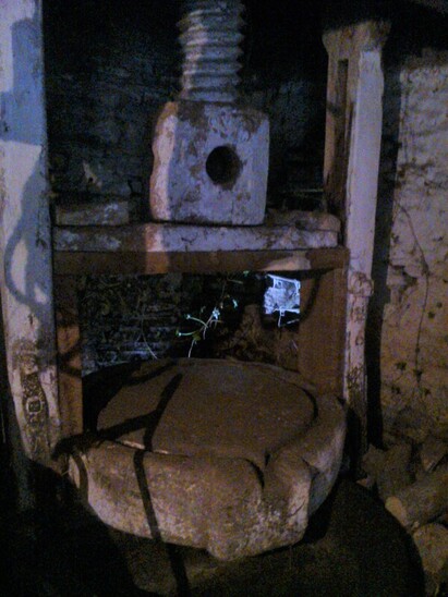
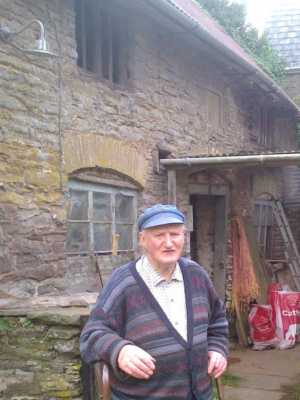
The second surprise was the rare survival of an 18th c. cider house at Cwm Farm at Llangattock Lingoed. Here we met the owner who very kindly let us in to see the cider mill with its original drive shaft, circular stone trough and the stone mill wheel, turned by a horse. And the surviving ciderpress with its huge wooden screw and stone trough. The original baking-oven and fire-heated copper were still there.
see www. villagealive trust.org.uk for a pdf about the cider house and video of the the perry harvesting
As we made our way up to the village and medieval church of St Cadoc’s, we passed the orchard with huge ancient perry trees, laden with fruit.
The third surprise was in the church - the 15th century mural of St George slaying the dragon, perhaps a reference to the defeat of Owen Glendower by the English at several nearby battlefields. There were also 16th century pews and a bier dated 1711, both rare survivals. The Hunters Moon Inn, built in 1217, did its best to call us in but Pandy, bath and hot food beckoned.
The third surprise was in the church - the 15th century mural of St George slaying the dragon, perhaps a reference to the defeat of Owen Glendower by the English at several nearby battlefields. There were also 16th century pews and a bier dated 1711, both rare survivals. The Hunters Moon Inn, built in 1217, did its best to call us in but Pandy, bath and hot food beckoned.
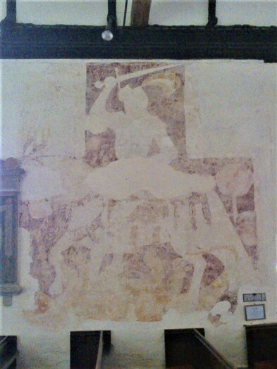
St George and the Dragon
Day 3 Pandy to Hay-on-Wye 17 miles
Looking east in the morning whence we had come
We crossed the River Honddu and began the long climb onto Hatterall Ridge, passing a spread of autumn crocii to cheer us. It wasn’t long before first a motte hove into view at Trevedw, the 11th c. castle long gone, and then Pentwyn, an Iron-Age fort, the largest in the area, lived in for 8OO years and giving the farmers in the valleys a safe haven in times of trouble.
On top of Hatterall Ridge, most eastern ridge of the Black Mountains to our west
We had lunch looking down on Llanthony Abbey, sitting amongst the heather and wimberries, surrounded by wild ponies, buzzards calling, ravens cronking and the sun warm on our backs.
Valley of the River Honddu with Llanthony Abbey hidden in the trees
We reached Hay Bluff at the north end of the ridge and looked over the hills and valleys of our route in the days to come – a breath-taking panorama with the Malvern Hills to the east and the Brecon Beacons to the west.
The trig point had red dragons painted on it. I felt very welsh at that moment. I bear a welsh name, the third commonest, and to the east, four miles as the crow flies, lay Velindre at Three Cocks Junction where my Williams antecedents came from.
As I descended into Hay I was happy to have reached the highest point of the Trail at 703 m(2306 ft) somewhere up on that ridge! Nothing would be as arduous again. Or so I thought.
The Old Black Lion was a delightful place to stay. No bath but a plastic container to soak my feet. What relief! And a delicious dinner at which Susie Agnew joined us, a break from grandmother duties nearby. And, finally, a comfy bed!
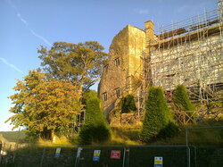
Hay Castle - Jacobean mansion, shrouded in scaffolding, alongside a Norman keep, undergoing restoration by Hay Castle Trust and due to open as an arts and education centre in 2020
Photo - thanks to Daily Telegraph. The King of Hay, Richard Coeur de Livre, had died in August. He declared Hay an independent kingdom and his horse Prime Minister. He was the drive behind the Hay Literary Festival. He sold the castle where he had his bookshop to the Hay Castle Trust in 2011
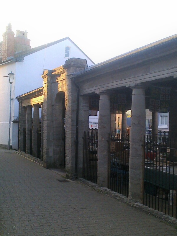
Hay Butter Market, built in 1830, to replace an open market in the centre of town used by local traders and farmers on market day
Day 4 Hay to Kington 16 miles
We were heading for Hergest Ridge along the Wye Valley, soon passing the site of a Roman fort and walking on a drovers’ road to Newchurch on the River Arrow where we found welcoming cups of coffee and tea in the church with its Welsh circular graveyard.
We sat in the sun and chatted to four men and their dog walking north to south and camping all the way. They carried their equipment including their food and the dog’s! They had the heaviest packs at two and a half stone which I could hardly lift. How glad I was for my little 8lb pack!
Who remembers Mike Oldfield’s Hergest Ridge album? I’m not surprised it inspired him to music. The Ridge was very beautiful, again with stunning views in all directions. We sat against 720 million year old rocks for our lunch, basked in the sunshine and drank in the views.
On Hergest Ridge looking south to Hatterall Ridge and May's Bluff, west to Radnor Forest and east to the Malvern Hills
We walked into Kington through part of Hergest Croft Gardens*, one of the finest collections of rare and exotic trees and shrubs in private hands, and arrived at our B&B, the Walking Hub, another enterprise devoted to walkers and their needs. Here Mike was able to buy some walking sticks. They do make a huge difference, particularly on steep ground, which he soon appreciated!!
*over 120 years, four generations of the Banks family have created the gardens which now extend over 70 acres with more than 5,000 rare trees and shrubs and 90 ‘champion’ trees
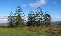
The current owner's grandfather, Dick Banks, planted these monkey puzzles on the top of Hergest Ridge, a 1000 acre common, with a race course used in 19th century, probably to show off the horses to be sold in the livestock sales in Kington, an important livestock market
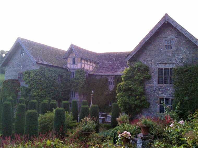
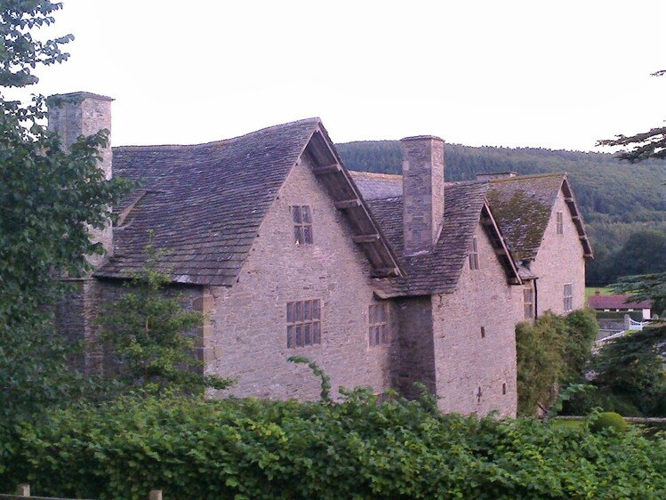
Sona had arranged an invitation for supper and a visit to Monaughty, an Elizabethan manor house, built in 1565, belonging to friends of hers. We were shown round in the dying light of day and stepped back in time, so unchanged was the house. Poverty had preserved it in the hands of tenant farmers for generations. It now stands empty, with the family living nearby in converted barns.
Monaughty sits in the Valley of the River Lugg surrounded by Radnor forest
Day 5 Kington to Knighton 15½ miles
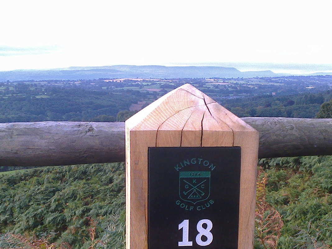
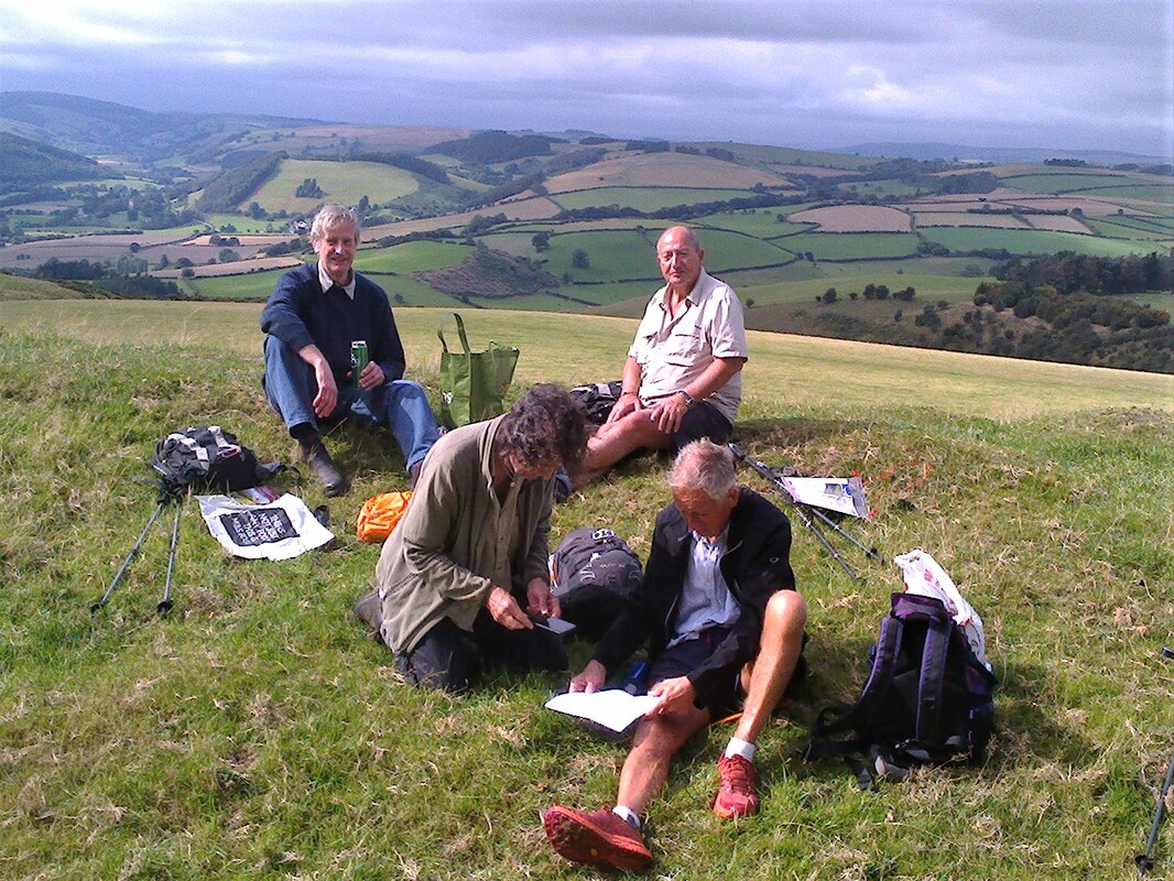
We found ourselves climbing out of Kington to the highest golf course in England, with views back to Hay’s Bluff. And we rejoined the Dyke after an absence of 50 miles. We met up with PK, Duncan Brown, our host for the next few days, and lunch on Furrow Hill, one of the many hills climbed that day. We’d just climbed out of the valley of the River Lugg so were very happy to sit on the Dyke and rest.
Hole 18, Kington Golf Course with the distinctive outline of Hay's Bluff in the background
Reunited with the Dyke
Lunchtime!
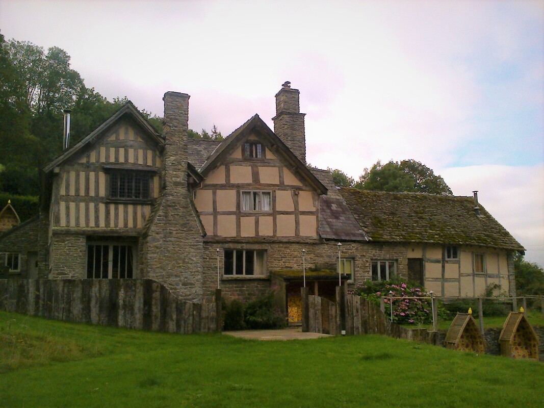
Burfa - one of the evocative medieval houses en route, this one in better condition than some
We finished the day walking through Knighton* golf course and a steep climb down into the valley of the River Teme for tea and cake at the Offa's Dyke Association Centre in Knighton.
*laid waste by the Welsh many times, Knighton later became a centre for farming and the woollen trade. Like so many border towns it lay on drovers' roads to markets in England
*laid waste by the Welsh many times, Knighton later became a centre for farming and the woollen trade. Like so many border towns it lay on drovers' roads to markets in England
Day 6 Knighton to Brompton Bridge 16 and a half miles
Llanfair Hill, highest point of the Dyke, seen on right
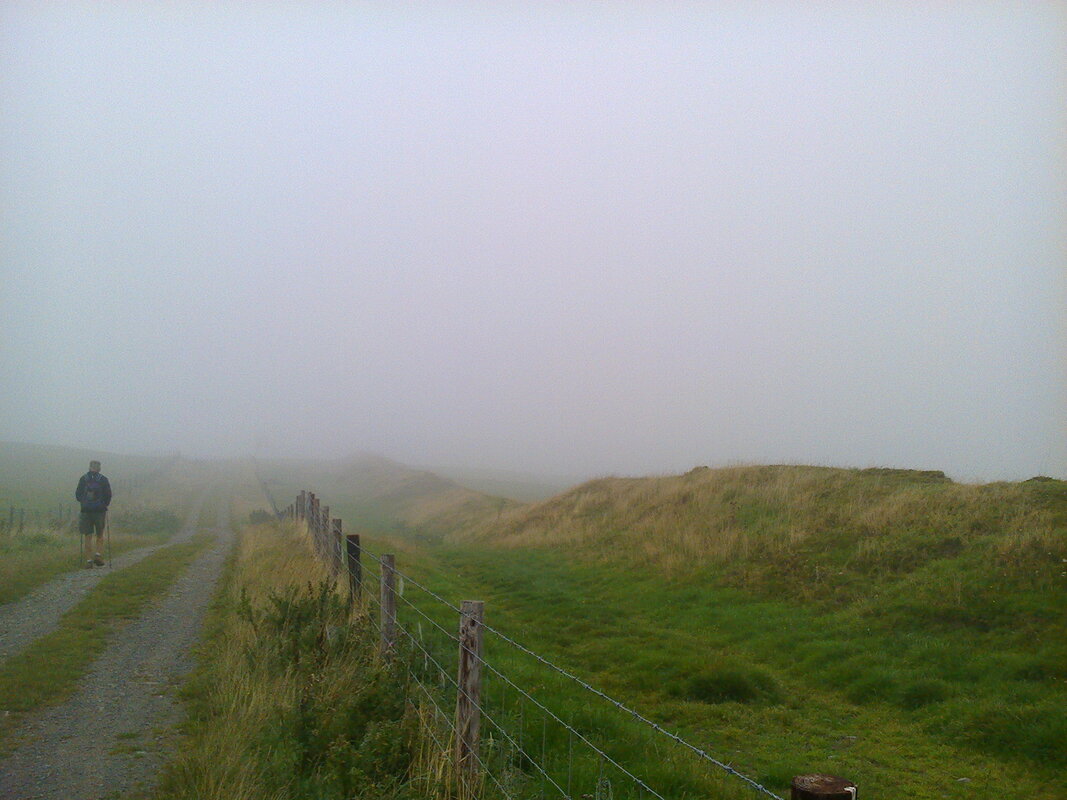
Mike and I set off on the toughest section of the trail and the gloomiest of days!
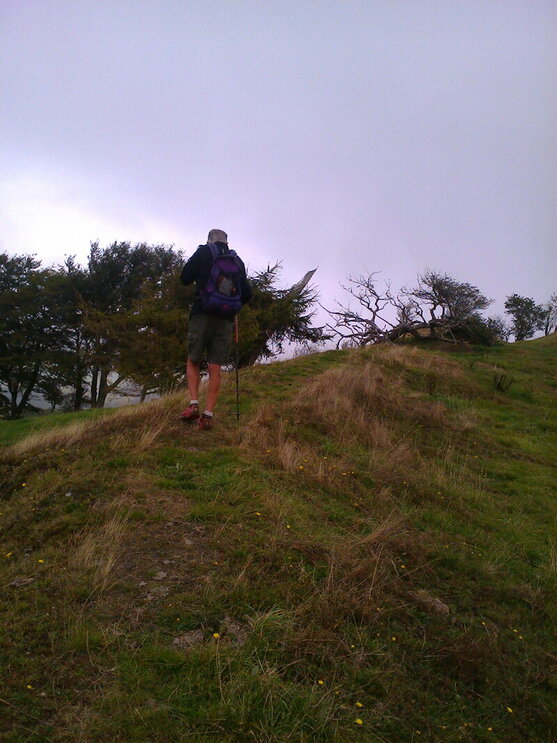
We climbed up and down hill all day, with little flat, and steep descents which , on slippery mud and stones, were extremely tricky. I was so glad I had my sticks. Otherwise I would have been coming down on my bottom!
We climbed up and down hill all day, with little flat, and steep descents which , on slippery mud and stones, were extremely tricky. I was so glad I had my sticks. Otherwise I would have been coming down on my bottom!
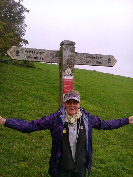
Halfway!! Joy, oh Joy. I felt sure I would now make it having reached this point!
Crossing the River Clun and climbing up the other side, we found the halfway post – most encouraging!
We descended to Churchtown in a narrow valley to immediately ascend to the Kerry Ridgeway, the oldest road in Wales used by Neolithic axe traders and, later, a drove road for Welsh livestock to reach the Midlands and London. How do they know these things??
We were walking through the Shropshire hills, an Area of Outstanding Beauty since 1958, and should have been able to see the Stiperstones and the Long Mynd but there were no views today.
It was incredibly tranquil and rural with little activity except for hedge cutting and spreading slurry, an activity which, with its smell, followed us on several parts of the Trail!
Brompton Bridge couldn’t come soon enough plus hot baths and sustenance. It had been a long and arduous day!
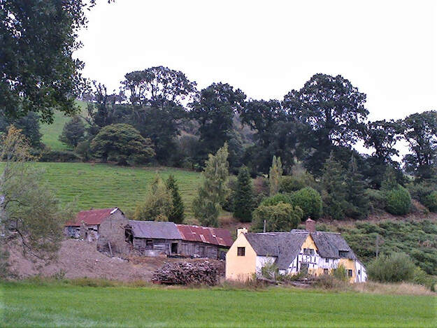
Lower Spoad - medieval cruck-framed longhouse, in not such good condition!
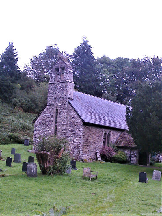
Isolated church of St John the Baptist in Churchtown - little in the way of town or village
Always climbing!!
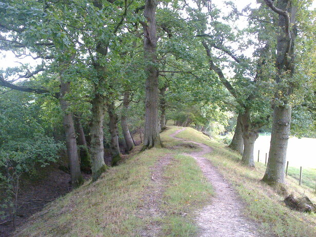
Descent on the Dyke into Brompton Bridge in the valley of the River Unk
Day 7 Brompton Bridge to Buttington 16 miles
Refreshed after our day off at Clunbury - thank you, Duncan - and our motorised trip! to see the Stiperstones, Ludlow and Stokesay Castle, and a convivial lunch in Long Stretton, we set off across the Vale of Montgomery with the town itself sitting up on the hill to our west and the castle ruins on the skyline, defending a strategic crossing over the Severn.
An Iron-Age fort, a Roman fort, a Norman motte and bailey had all preceded the stone castle. It was also the site of the bloodiest battle of the Civil War with the Parliamentarians soundly defeating the Royalists in 1644. Yet more evidence of how hard this border between England and Wales was fought over.
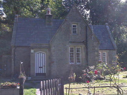
We walked above the Severn Valley, through the magnificent woods of Leighton Hall, a gothic-style mansion designed by Pugin, with Crace interiors, in the 1850s and owned by John Naylor, a banker from Liverpool. He was given it as a wedding present from his uncle! He built a model farm and an early hydro-electric scheme to power the farm’s machinery. Some of the tallest Redwoods in Europe were planted here in 1858, along with Douglas Firs and Monkey Puzzles!
The nearest I was going to get to Leighton Hall was the Gate Lodge. Too many trees in the way!
It was one of my case studies for my Masters so I would have been interested to see it.
It was one of my case studies for my Masters so I would have been interested to see it.
Beacon Ring, rampart/ditch on left, looking over Welshpool, Powys Castle and Severn Valley
We sat on Beacon Ring eating our lunch, watching the planes fly into Welshpool Airfield and the ravens*, up to 20 of them, cronking and tumbling in the sky.
The Ring is a large circular fort, late Bronze Age/early Iron-Age, with defensive rampart and outer ditch. It was used as a beacon for Queen Victoria’s Golden Jubilee in 1887. I didn’t take a photo as someone had placed an ugly communications mast right beside it. How sensitive is that!
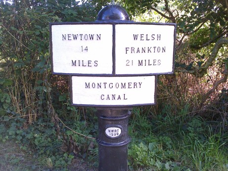
After a long steep descent to Buttington, we walked along the Montgomery Canal to Welshpool and the Royal Oak Hotel. Much to my chagrin I had had a ‘dyslexic’ moment and booked for three nights previously! Luckily, they had three rooms left and we were first in the queue before three other walkers so got a room each. They had to share!
*According to Birds Britannica, Central Wales holds the highest breeding densities of ravens in Europe, if not anywhere in the world! They certainly were a constant all the way from Chepstow to Prestatyn.
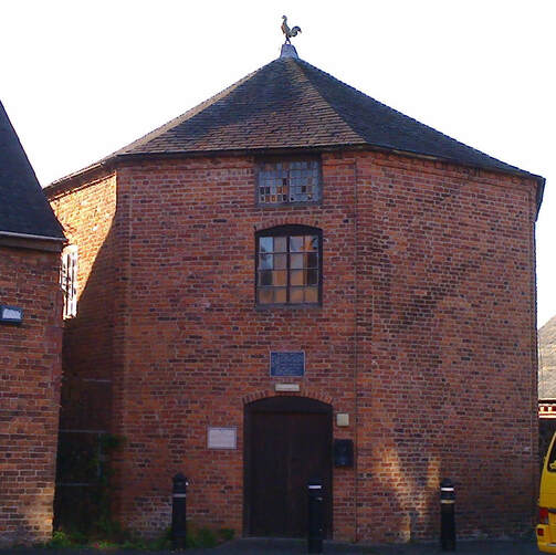
Welshpool's 18th c. hexagonal cockpit, used till 1848 when cock fighting was made illegal
Day 8 Welshpool to Llanymynech 14 miles
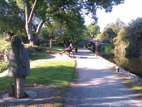
This was one of our shortest days, starting by a walk along the canal which made me very happy. No hills to climb today!
We met up with the Trail by the site of yet another abbey, Strata Marcella, long gone but founded by the Cistercians in 1170. It backed the Welsh against the English so didn’t survive long!!
Montgomery Canal carried lime from the limekilns of Llanymynech to fertilise the fields of the upper Severn valley
We then followed the Severn flood defences as the river snaked its way up the valley with the Breidden Hills to our east where another Iron-Age fort can be seen.
Walking along the flood defences with Breidden Hills in the background, the Criggion Quarry at the left-hand end and the Iron-Age fort to the right
We left the Severn and headed north to the River Vyrnwy, first rejoining the Montgomery canal. We had our lunch beside the river looking up at a very leaky canal aqueduct, stone built and clay-lined. I cooled my tired feet in the waters.
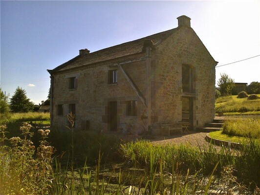
Canal architecture - only surviving salt warehouse in Wales - NB loading crane still in place
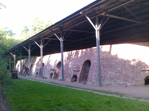
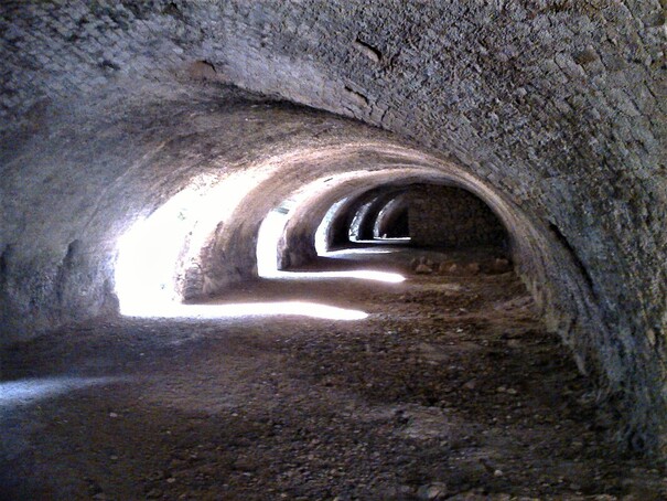
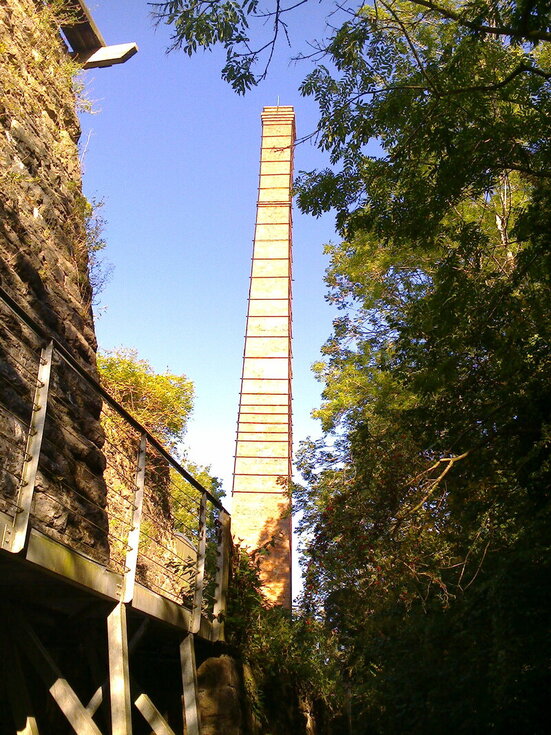
It was then a short hop into Llanymynech on the English/Welsh border. As we were early, we walked to the heritage area to have a closer look at Hoffman’s Kiln and the chimney we had spotted from afar. It turned out to be a huge brick beehive kiln with two tunnel vaults entered through 14 round-headed arches. It was quite spectacular.
How many people have passed by on the A483 unaware of this fabulous bit of industrial architecture! The brick-built tower is 140' high and only 15 cms out of true!
We headed back for a pint at the pub, sitting in the sun with the traffic wooshing by, until my cousin , Sarah Don, arrived.
Day 9 Llanymynech to Castle Mill 17 miles
We spent a lovely evening with Alec, Sarah and Alastair Don in their lovely courtyard house. Hot baths, plenty of food and drink, a comfy bed and good company. What more did we want!!
We spent a lovely evening with Alec, Sarah and Alastair Don in their lovely courtyard house. Hot baths, plenty of food and drink, a comfy bed and good company. What more did we want!!
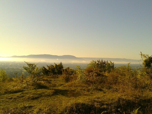
Looking from Llanymynech Hill to Breidden Hills and Severn Valley in the early morning light
Alec dropped Mike, Sarah and I off at Llanymynech to start the long walk up the hill above the town to the limestone quarries, now disused, and one of the largest Iron-Age hill forts, with traces of Roman lead and copper mining inside its ramparts.
We were walking in the footsteps of Charles Darwin who, in the summer of 1831, had done some early fieldwork here measuring the rocks, whilst touring North Wales with his professor from Cambridge and before his departure on the Beagle!
I love these nuggets of information I pick up on the way. They so amuse!
We passed through Nantmawr to climb up to Moelydd(285 m) with its 360° views. Here we first met Superwoman, thin as a whip, brown as a berry, carrying next to nothing but camping her way up the Trail, mostly at a running walk. No spring chicken either! I felt old, fat and stiff!!!
On top of Moelydd in front of the toposcope identifying surrounding landmarks
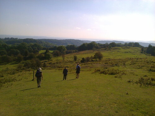
Superwoman, Sarah and Mike descending Moelydd, with views our the to the east
We walked up through Candy Woods and dropped down to Sarah’s house for bowls of soup for lunch. We then set off from the Racecourse Common along grassy rides which formed the two mile figure-of-eight Oswestry racecourse, one of the first in the country where the last races were held in 1848.
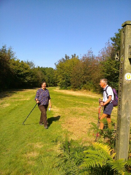
Racecourse Common - walking along part of the disused race track
We passed Selattyn Hill, down into Craignant valley, following some impressive parts of the Dyke, and up the other side to be rewarded with a fabulous view of Chirk Castle sitting on top of its bluff surrounded by trees.
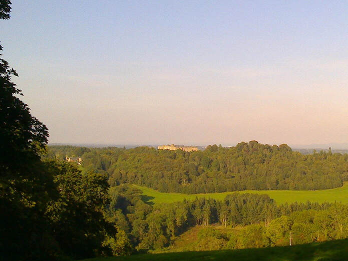
My little nokia not up to the job! But what a view - over the castle to the Cheshire Plains
It was a steep climb down to Castle Mill in the valley of the River Ceiriog, site of another bloody battle between the Welsh and the English – Battle of Crogen in 1165 when Owen Glendower* was victorious over the English army of Henry II. Alec met us here and it was home for another convivial evening of R&R!!
*Owain Glendower was a constant thorn in the side of the English for over a decade. He was a master of guerilla tactics and his standing as a soldier reached mythical proportions. We had passed the site of his great victory over the English at Pilleth, just south of Knighton. By 1404 he controlled most of Wales. By
1409, he was losing support and some of the castles he had captured. He became a rebel leader on the run, never replied to an offer of pardon in 1412 and was never heard of again!
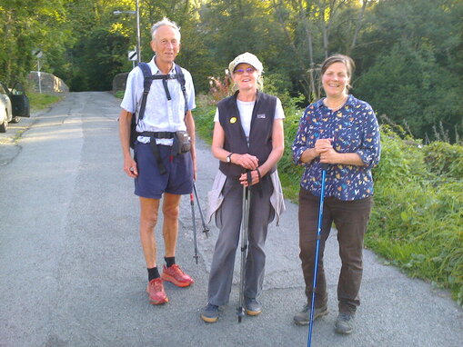
Castle Mill and the end of another day - 3 more to go!
Day 10 Castle Mill to Llandegla 17 miles
Mike and I were now on our own for the last few days. No more hospitable hosts to spoil us! And this was to be one of the most exciting days.
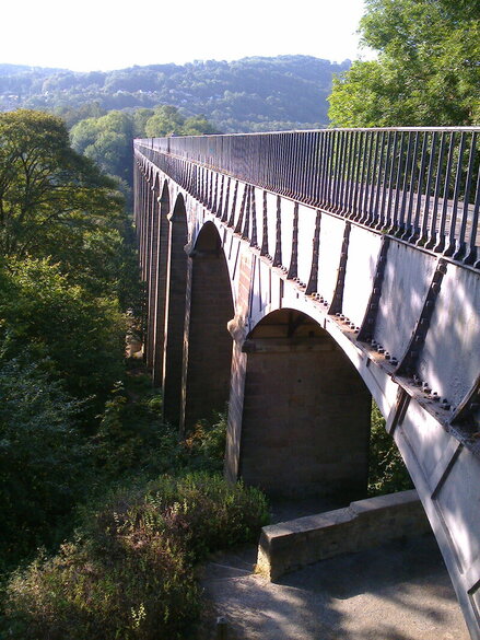
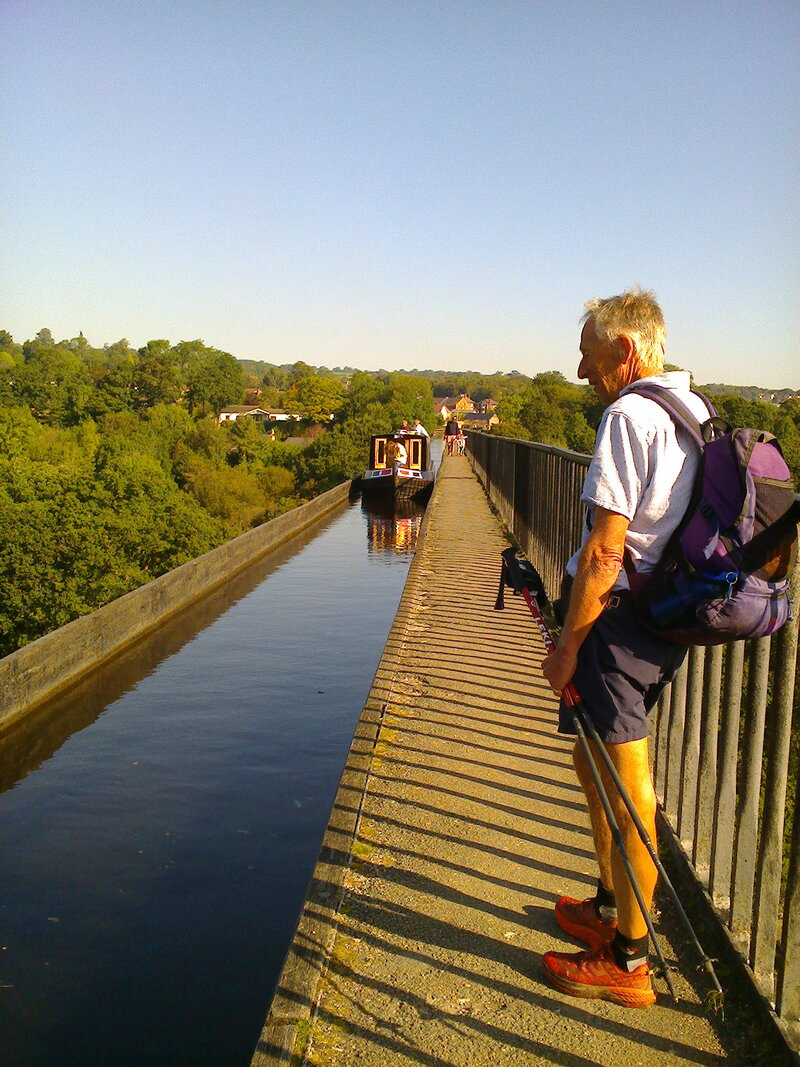
Its name is unpronounceable and its originator is one of the great engineers of all time. 18 stone piers carry an iron trough 1007’ long and 11´ 10" wide, 126´ above the River Dee - one of the great engineering achievements of all time which I was about to walk across. The Pontcysillte Aqueduct, the tallest navigable aqueduct in the world when opened in 1805.
But more amazing than all that is this was Thomas Telford’s first major work. The son of a Scottish shepherd, he was known as Pontifex Maximus and was one of the world’s greatest bridge builders.
I could hardly contain my excitement – or my nerves! Actually, it wasn’t as scary as I thought it was going to be. There is a sturdy iron railing at shoulder height along the footpath. Mind you, on the canal side there is nothing except the edge of the iron trough! A railing had been intended but never made.
This is a World Heritage Site(2009) but could we find a cup of tea and a sticky bun – reward for such a nerve-jangling experience! No! Everything was closed at the canal terminus. We walked despondently into the village and there, before our eyes, was a glorious sign saying, ‘Tea and Cakes Served’. It was the local Methodist Chapel, now a community centre, full of happy Mums and Kids, Grannys and Grandpas tucking in. So if you find yourself in Pontycysillte, don’t bother with the canal terminus, go straight to the Chapel Tearoom. I noticed the local Civic society had given it an award in 2018. Bravo! Well deserved.
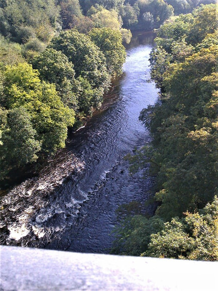
The River Dee far below
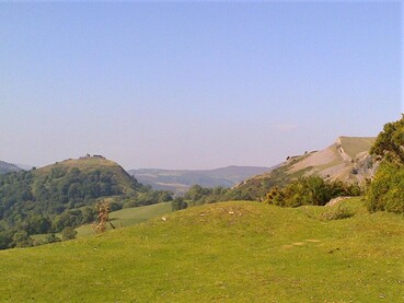
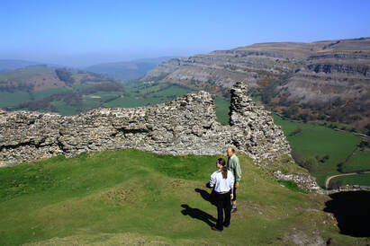
Our next excitement was topographical – the limestone crags of Trevor rocks and Creigiau Eglwyseg and the steep escarpments of Craig Arthur and Craig yr Adar, all part of the Eglwyseg Escarpment.
Castle Dinas Bran on the left hand hilltop Escarpment from Castell Dinas Bran (not my photo)
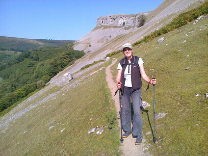
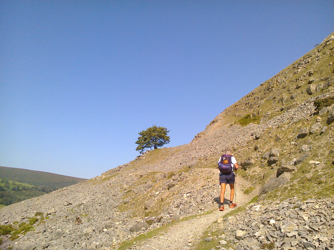
Eglwyseg escarpment - narrow paths with steep scree slopes above and below, not a place to put a foot wrong!
View back to the escarpment, having come over Horseshoe Pass and on our way to Llangollen for the night
The crags gave way to moorland, with our first view north to the sea. Then a descent through the forest to Llandegla in the valley of the River Alyn. From there a short taxi ride back to Llangollen over the famous Horseshoe Pass, past the ruins of Valle Crucis Abbey, as romantic as Tintern but nobody famous wrote a poem about it or painted it, and past Pafiliwn Llangollen Pavilion, home to the famous international Eisteddfod, and where a young man from Modena came to sing with his choir in 1955. It won the competition and young Pavarotti turned professional!
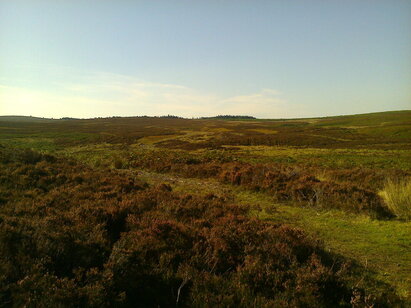
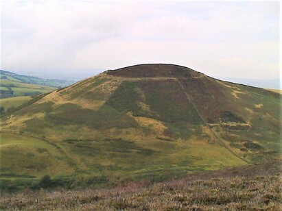
Moorland of Ruabon Mountains where the black Llandegla Forest, planted in 1970s, now a biker's grouse call paradise
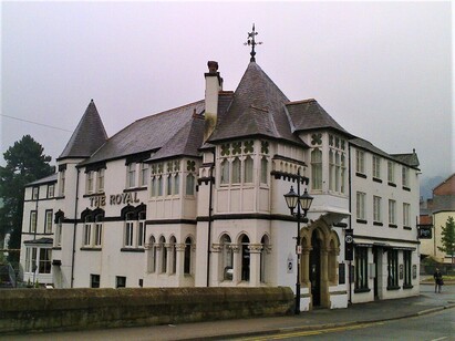
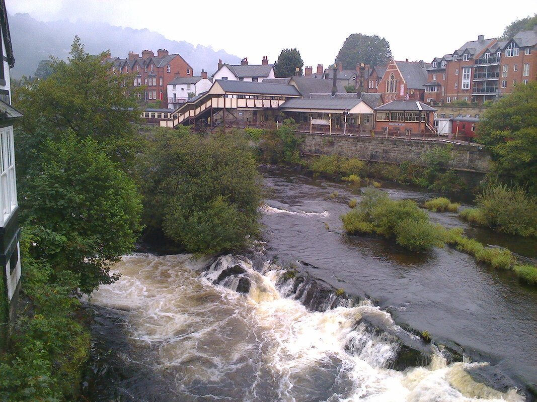
Our hotel in Llangollen, The Royal, in need of urgent TLC, which by notices in the hotel it was about to get, stands by the bridge, an Ancient Scheduled Monument, over the River Dee. I woke to this incredible rushing sound – the river was in spate after all the rain. NB railway station and the famous steam train
Day 11 and 12 Llangollen to Prestatyn 17 and 14 miles
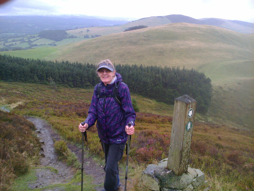
It was no easy descent into Prestatyn. The hills were relentless and the weather had closed down with low cloud and rain – our second day of bad weather. We were climbing the Clwydian Hills – one of the highlights of the walk, my guide book told me. It is a 20 mile chain of hills running south to north, of heather moorland, with a scattering of hill forts, six in all, the greatest concentration in Western Europe.
Looking over the rift valley of the River Clwyd, a vast fertile plain to the west, with the historic market towns of Ruthin and Denbigh and their castles, to Snowdonia in the distance
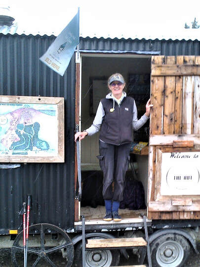
By the time we reached the Shepherd’s Hut at Bwlch Penbarra we were soaked and fed up of climbing. It’s amazing what a cup of tea and a piece of Bara Brith can do. By all reports, Superwoman had beaten us to it!
By the time we reached the Shepherd’s Hut at Bwlch Penbarra we were soaked and fed up of climbing. It’s amazing what a cup of tea and a piece of Bara Brith can do. By all reports, Superwoman had beaten us to it!
|
|
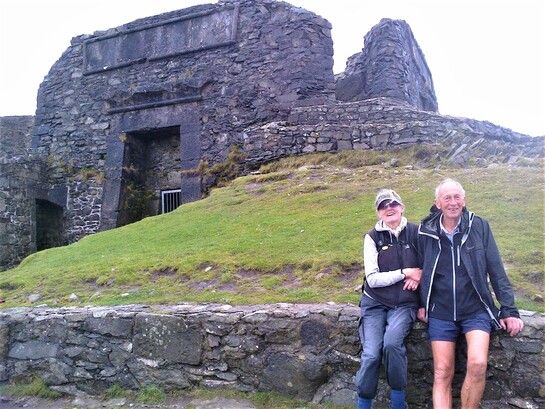
We had one more climb up to Moel Famau(554m), the highest point of the Clwydian Range. There we found the Jubilee Tower, built to celebrate the Golden Jubilee of George III in 1862:
Extraordinary Egyptian-style edifice, the upper column of which was lost in a storm!
The Iron-Age forts stretch from Moel Hiraddug inthe north to Caer Drewyn, north of Corwen in the south. This one is Moel Arthur, a perfect tonsure
Massive hillfort of Penycloddiau, with multiple ramparts and ditches
Vale of Clwyd on the left
Vale of Clwyd on the left
We had a five mile road walk off the ridge into the Vale of Clwyd to our pub* for the night where we were greeted with, ‘It’s Sunday, no food.’ So it was a taxi to Dinorben Arms in Bodfari for a delicious roast beef dinner. Here we met up with Superwoman, having last seen her at Pontcysyllte sorting her life on her mobile which she was still doing! We had a good chat over a glass of wine.
*The Golden Lion Inn at Llangyahafel
*The Golden Lion Inn at Llangyahafel

Our last day and a beautiful one at that, looking south to the hills we'd walked yesterday
The last day, for me, was one of the toughest. I just wanted to be finished yet I still had climbing to do. One of the hardest climbs was up to a place called Sodom. I couldn’t agree more.
We climbed a barrier reef 300 million years old, passed a 14m high cairn, the largest Neolithic cairn in Wales, said goodbye to our last hill fort, Moel Hiraddug, looked west to St Asaph, the smallest cathedral in England and Wales, and walked down part of a roman road, once from Chester to Caernarfon.
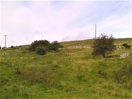
300 million year old barrier reef. Or so the guide book said!
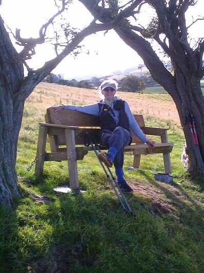
I finally sat on a bench looking down at Prestatyn and its caravans, ignoring the noise of the A55 and the march of pylons across my view. Superwoman caught us up and passed by at a run!
I'm happy, I survived unscathed, no aches and pains and no need of taxi list! Bit of calf trouble but they soon got stretched out by the hills! I can see Prestatyn and it's downhill all the way
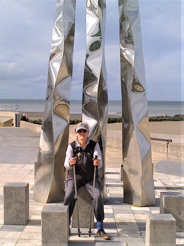
It wasn’t long before we were striding down Prestatyn High Street to the beach front, meeting up with several of our walk acquaintances* from along the Trail and diving into the sea for a restorative swim!! With a roast dinner and a glass of wine at the Cook Carvery I was home and dry and just had a few hours to kill till my train to Chester, London and home.
*No sigh of Superwoman! En route, we saw less than 20 LD walkers. We did meet the running race – Chepstow to Prestatyn in four days. Now that IS ridiculous! They certainly made the path very visible.
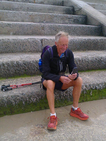
In front of the end of Trail Marker Mike sending a message to Sona to say we'd done it
A Traveller’s Prayer
May the road rise to meet you
May the wind be always at your back
May the sun shine warm upon your face
May the rains fall softly upon your fields
Until we meet again
May God hold you in the hollow of his hand
Unknown source (celtic)
www.kateswalks.com KAW/October 2019






 RSS Feed